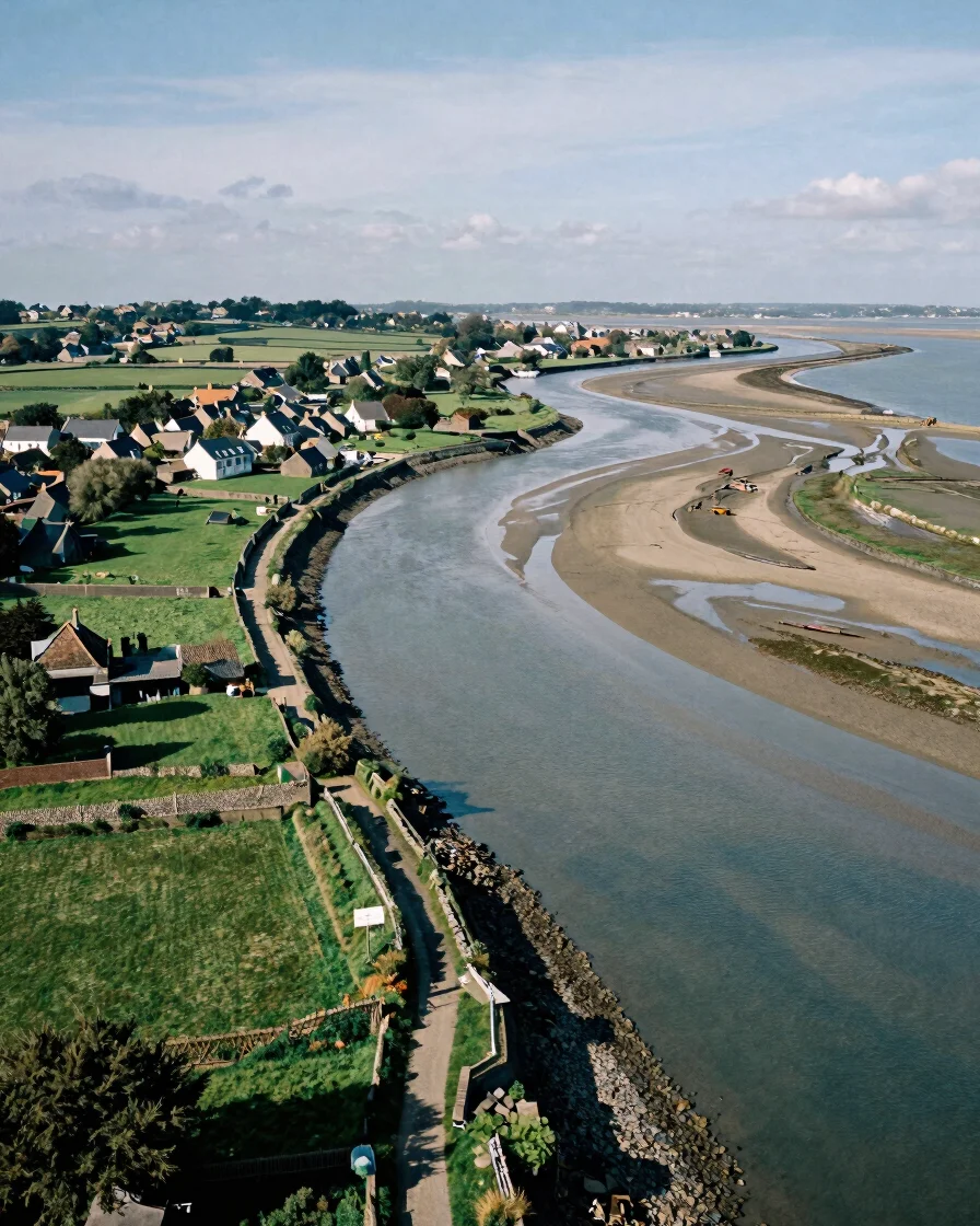
Golfe du Morbihan et vallées
The Gulf of Morbihan and the valleys that feed it
An enclosed sea of islets, mudflats, and tidal straits, shaped by the Auray and Blavet valleys that carry fresh water into it. This page reads the gulf and its inland corridors as one system.
Auray
Valley feeding the gulf
Blavet
Valley feeding the gulf
Three shorelines
Mudflats, coves, and wooded riverbanks
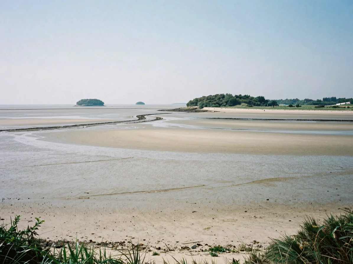
Tidal mudflats
Where the tide sets the rhythm
Along the inner gulf, mudflats are exposed twice a day. Their pale surfaces, channels, and birds mark the edge between sea and land, and they shape how boats and shellfish farms operate.
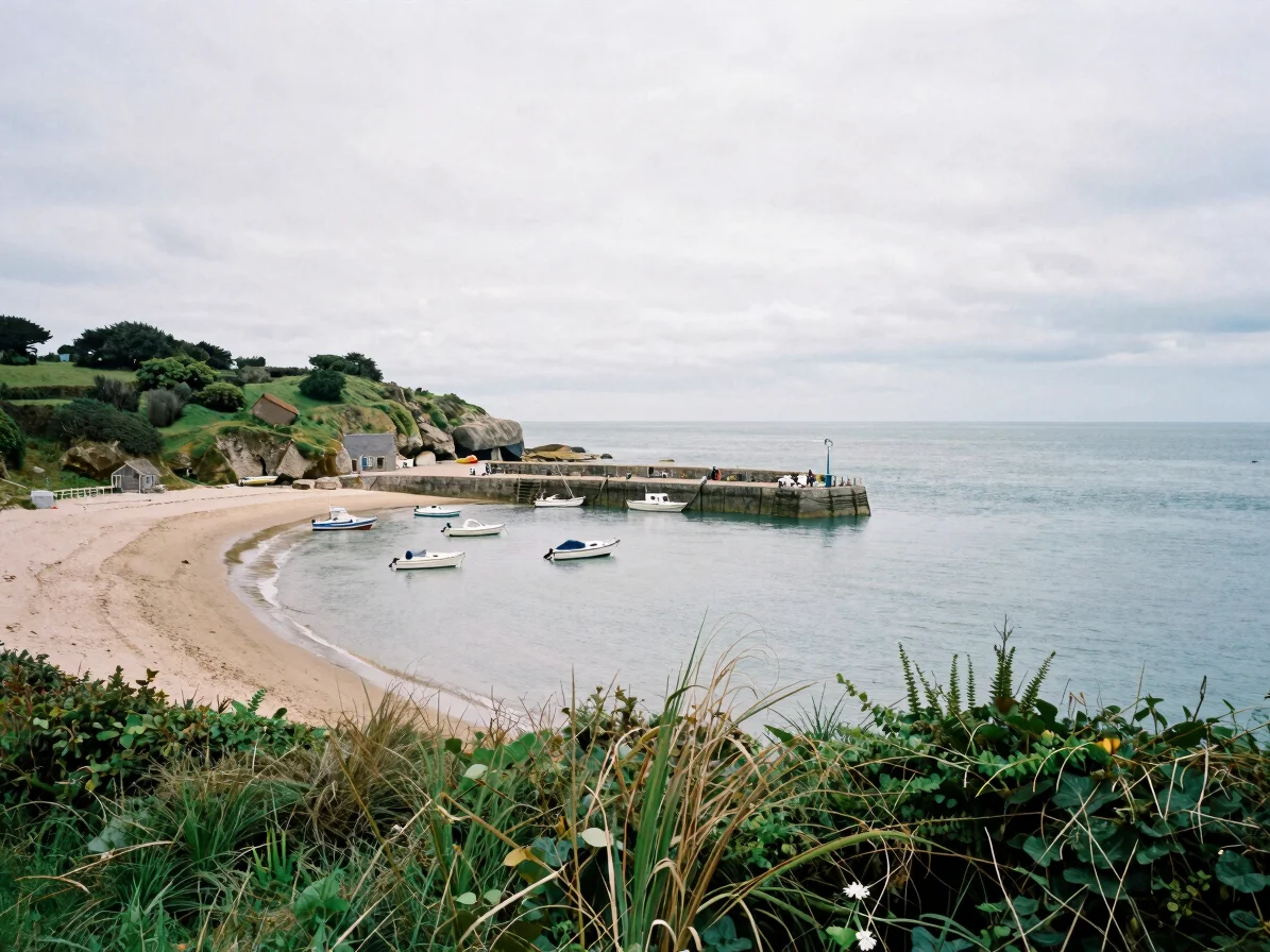
Sheltered coves
Small bays that hold the wind
Protected coves on the gulf's edges offer shelter for small harbors and moored boats. Stone quays, hedgerows reaching the water, and slate roofs show how villages have adapted to these calmer shores.
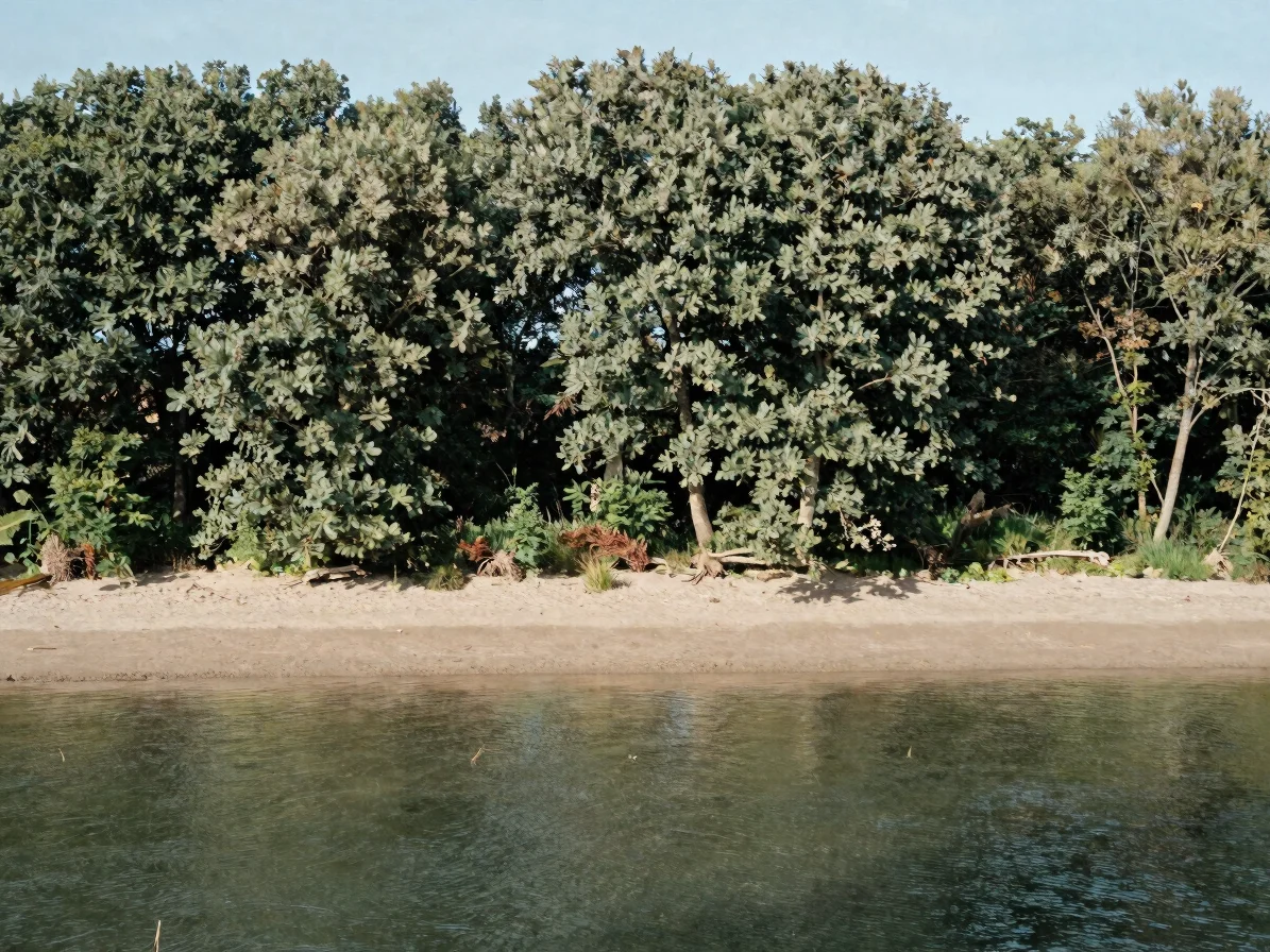
Wooded riverbanks
Woodland edges along the valleys
Where the valleys reach the tide, oak and alder line the riverbanks. These wooded edges filter runoff and provide cover for riparian wildlife, linking inland forest to the open gulf.
How the system connects
From interior basins to maritime currents
Rivers such as the Auray and the Blavet drain inland catchments and deliver fresh water and sediment to the gulf. That flow meets tidal currents that move through narrow straits, so the valleys and the sea are read together rather than apart.
Oyster farming, navigation, and harbor villages depend on this balance. Understanding the valleys helps explain why the gulf's sheltered waters support the economic life visible along its shores. Readers can consult public sources on water and coastal management for further detail.