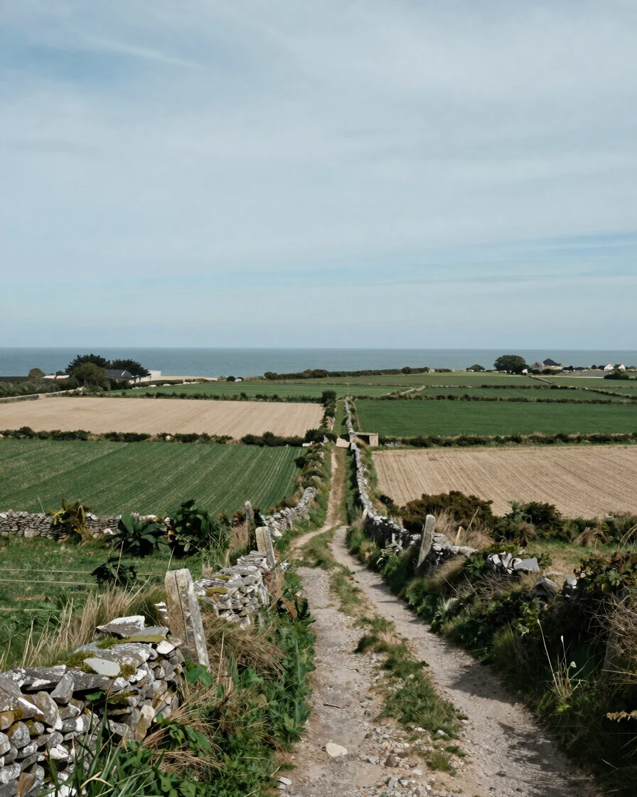
Preserving the landscape
Preserving Morbihan's landscapes
Coastal erosion, sea level rise, hedgerow loss, and peri-urban growth are reshaping the territory. This page looks at these pressures through documented public research and the adaptation approaches it describes.
Pressures on the territory
Three pressures shaping the landscape
Each of these pressures is studied in public research and environmental documentation. The points below summarise what those sources describe.
Coast
Coastal erosion and sea level rise
Low-lying Breton shorelines face erosion and rising water levels. Public coastal studies point to the need for adaptation strategies that account for these changes over time.
Bocage
Hedgerow and habitat fragmentation
Intensive farming has reduced hedgerows that once linked woodlands and fields. Replanting and reconnecting these corridors helps restore the movement of wildlife through the bocage.
Peri-urban
Growth around towns and villages
Housing and road expansion at the edges of towns can divide fields, woods, and wetlands. Territorial planning documents describe how to limit this pressure and keep landscapes legible.
A measured approach
Stewardship grounded in evidence
Preserving a landscape begins with understanding how it is formed, used, and changing. Institutional research on coastal management, biodiversity corridors, and territorial planning offers a shared factual basis for these decisions.
Paysages du Morbihan is an independent magazine. We report on these questions and point readers toward the public sources where the underlying analysis can be checked.