
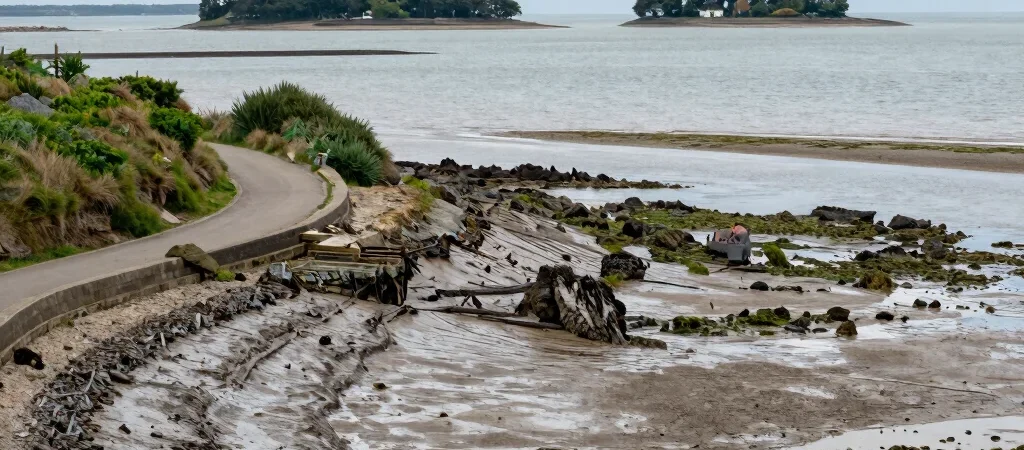
A view across the Gulf can seem complete from a lookout: islands, boats, a line of distant shore. But on foot, the scene keeps changing. The tidal edge reveals a working boundary where paths, mudflats, coves, and settlements meet.
Let the shoreline set the pace
At places around Séné, Baden, and Arradon, the Gulf is not one uninterrupted panorama but a sequence of small inlets and changing shorelines. Water level affects what can be seen from the edge, so a walk at one hour may feel quite different from the same stretch later. Check local access information before setting out; a visible shoreline does not mean every route is open or passable.
Notice what the view leaves out
Watch where paths bend away from the water, where vegetation holds the bank, and where a village meets the shore. These details can show how people have made room for both daily life and a changing coast. They also keep the Gulf from becoming only a blue backdrop.
Walk with the place in mind
Use marked paths, respect signs, and avoid crossing exposed intertidal ground simply to get closer to the water. If you want to understand a particular site, local visitor information and public planning documents can add context that a viewpoint cannot provide. The useful question is not only what the Gulf looks like, but how its edges are shared.